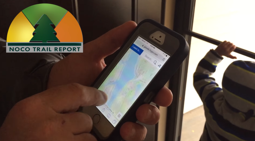
Larimer county officials are hoping to take the sting out of encountering closed trails with a new online map. NoCoTrailReport.org covers trails managed by Larimer County Natural Resources, City of Fort Collins Parks, and City of Fort Collins Natural Areas. The stoplight colors indicate closed, caution and open trails across the county.
Restricting access for the good of the ecosystem or to repair a trail has become a higher priority as more and more people have moved to a state that has attracted attention for its outdoor lifestyle for centuries.
Wealthy Europeans began visiting in the early 1800s, writing books and creating paintings of the centennial state’s unique landscapes. Spectacular pictures and word-of-mouth is a continual draw.
Almost 34,000 people have moved to Larimer County since 2010, according to the U.S. Census bureau's population estimates. Their love of the outdoors is putting strain on some of the region’s most accessible trails and open spaces. Parking lots are filling up by midmorning, and the sheer number of visitors is causing trail widening and wildlife disruption. Fort Collins’ natural areas annual report states there were over 2 million visits in 2015, and as the population grows that number is expected to rise.
It’s a difficult balancing act for land managers. Taxpayers pay for purchasing and maintaining natural areas and trails, but the environments can only take so much - what biologists call a “carrying capacity.” When those are breached, damage to natural areas can be beyond what the site can absorb.
How do you keep sites accessible and healthy? In Larimer County, you can check a map.
Boulder county has a similar trail condition map, though it does not include the city.
At some of the most visited sites in the state, land managers are weighing options. Closing on-site parking lots and offering shuttles at Hanging Lake, or permits at Conundrum hot springs are just some of the solutions that, if they work, could be implemented at a trail near you. KUNC's series Loved To Death provides more reporting on the careful balance between sharing the beautiful outdoor spaces of Colorado, and protecting them for future generations.


