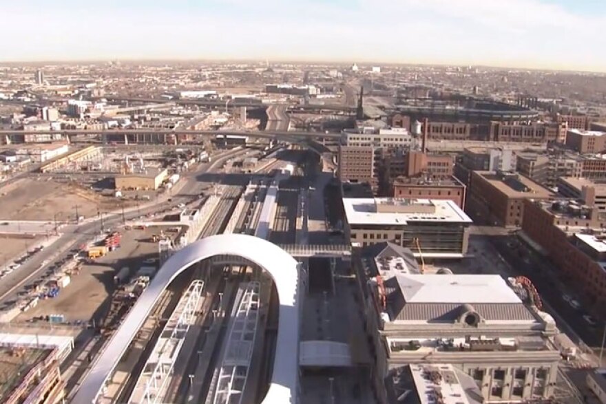
Earlier we took a tour of the Regional Transportation District's forthcoming train to Denver International Airport from the ground. Things look quite a bit different from the air.
Clocking in at 18:48, the video is long by YouTube standards, but it’s shorter than actually taking the commuter train from Union Station to DIA. That ride will take approximately 35 minutes when the line opens in 2016.
There's also no sound, so you'll need your own soundtrack.
http://youtu.be/mLJJt6HAcMs
Watching the flyover, the massive scope of the 22.8 mile project unfolds. It meanders through north metro Denver before sliding past Stapleton and heads onto the plains toward the airport. Here are some notable places you’ll see:
0:20 - Coors Field. Note all the new construction taking place along the new line.
2:33 - The Purina factory in the Elyria, Swansea, Globeville neighborhood.
4:21 - Quebec Street near the old Stapleton airport.
8:41 - Smith Road and Airport Boulevard, the longest bridge on the entire East Rail Line. 5,000 feet long and 29 spans from start to finish.
18:01 - The final turn into Denver International Airport.


