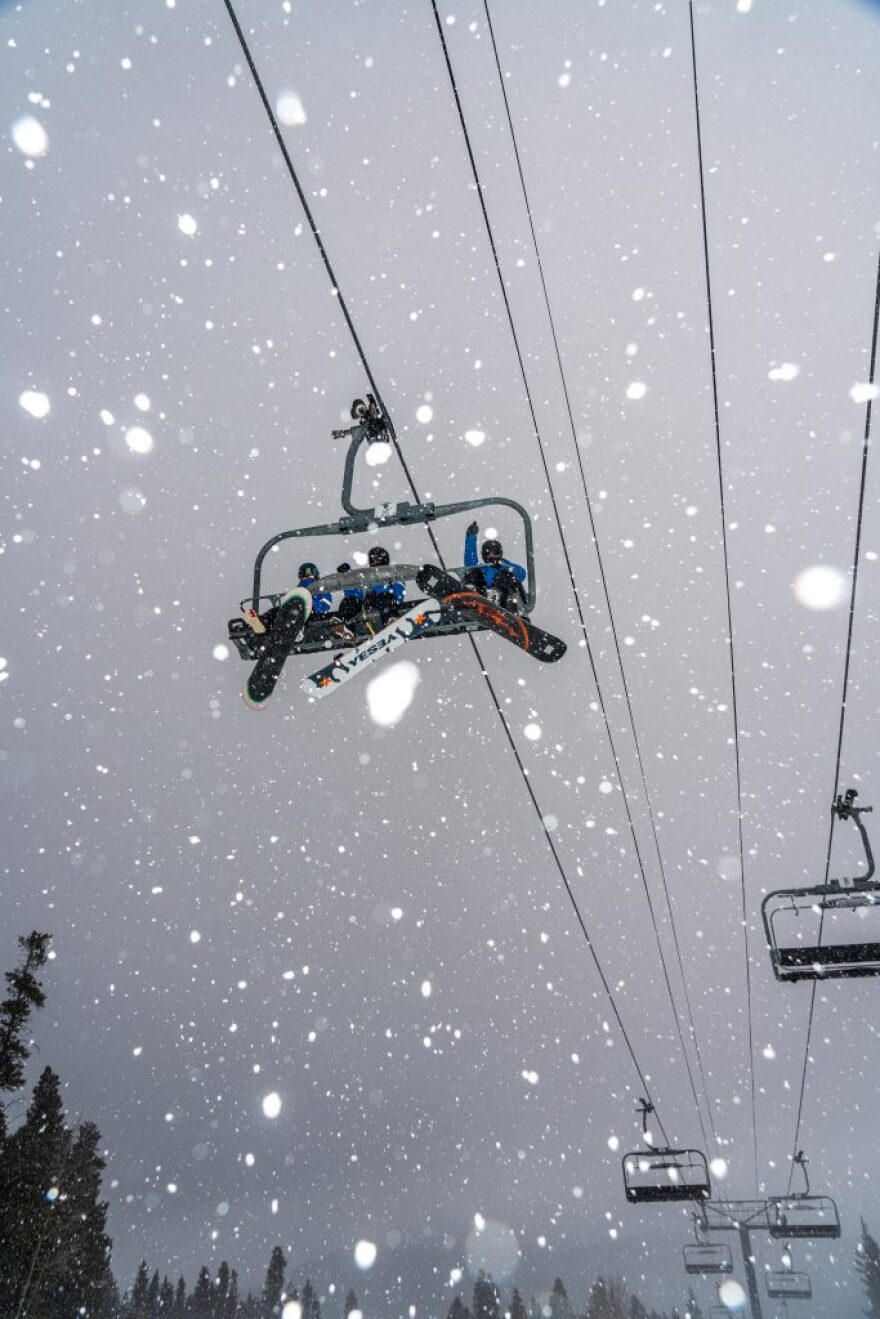
An updated winter forecast indicates an increased likelihood of drier conditions in Colorado heading into 2026, driven by below-normal snowfall and above-normal temperatures.
Meteorologists are predicting increased odds of below-normal snowfall across the Central Rockies, stretching into Colorado's western half, according to an OpenSnow winter forecast.
The region's temperature outlook has changed only slightly since September's estimates, with meteorologists still anticipating higher odds of above-normal winter temperatures across the Southern and Central Rockies, amid a stronger push toward La Niña conditions.
In September, meteorologists pointed to unusually warm Pacific Ocean temperatures and a budding La Niña as reasons for this season's delayed snowfall across much of the Rockies.
An updated winter forecast from November shows that La Niña conditions continue to emerge, shifting from the -0.4ºC sea surface temperature anomaly recorded in part of the Eastern Equatorial Pacific in September -- just shy of the -0.5ºC threshold needed to reach La Niña -- to anomalies between -0.5ºC and -1.0ºC, according to the OpenSnow report.
"Keep in mind, this isn't a guarantee of a low snow year; it just means that the odds favor a higher likelihood of below normal snowfall versus above normal snowfall," OpenSnow Meteorologist Alan Smith wrote in the report.
This still points to a weaker and shorter La Niña episode, with conditions trending toward neutral sometime between January and March. Model projections from the National Oceanic and Atmospheric Administration and the International Research Institute for Climate and Society are even predicting a shift toward El Niño conditions by spring or summer.
Opposite to the cooler-than-normal sea-surface temperatures in the central and eastern tropical Pacific Ocean required for La Niña conditions, El Niño occurs when those sea-surface temperatures become warmer than average, disrupting typical atmospheric circulation.
The International Research Institute for Climate and Society's November forecast places the probability of La Niña at 67% for November through January, easing to 53% for December-February. Conditions are predicted to shift toward neutral from January through March, with El Niño probabilities appearing in the spring and growing from 10% in March to 35% by July through September.
In the past, El Niño conditions in Colorado have led to warmer-than-normal summers, with a weaker summer monsoon in the southwestern part of the state and a greater likelihood of rainfall in the Eastern Plains, according to the Colorado Climate Center.
El Niño doesn't always translate into a fixed weather pattern, however, meaning it's too early to say exactly what an El Niño summer could look like for Colorado.
On Nov. 26, Colorado's snowpack sat at the 0th percentile, meaning the snow water equivalent was the lowest on record for that date since 1987. The state's snowpack has climbed to the fifth percentile as of Dec. 1. The amount of snow is lower than 95% of historical levels.
This slight improvement, in addition to Colorado's snowpack reaching 49% of the median as of Dec. 1, is thanks to a few recent snowstorms on the Western Slope.
However, Smith said meteorologists tend not to focus too much on November snowpack, since the majority of Colorado's snowfall won't come until December through March.
"An anomalously deep or shallow start to the season in November can tip the odds slightly one way or another, barring a strong signal in the reverse direction for the start of December," Smith wrote in the report. "In other words, if an area starts out with a deep snowpack deficit, it can be more challenging to make up for the deficit. But sometimes it happens. We've seen dry Novembers turn into deep winters in the past."
This story was made available via the Colorado News Collaborative. Learn more at:


